Home » Past Workshops » Beginning Geospatial Technologies: Workshop 3 – June 2013
Beginning Geospatial Technologies: Workshop 3 – June 2013
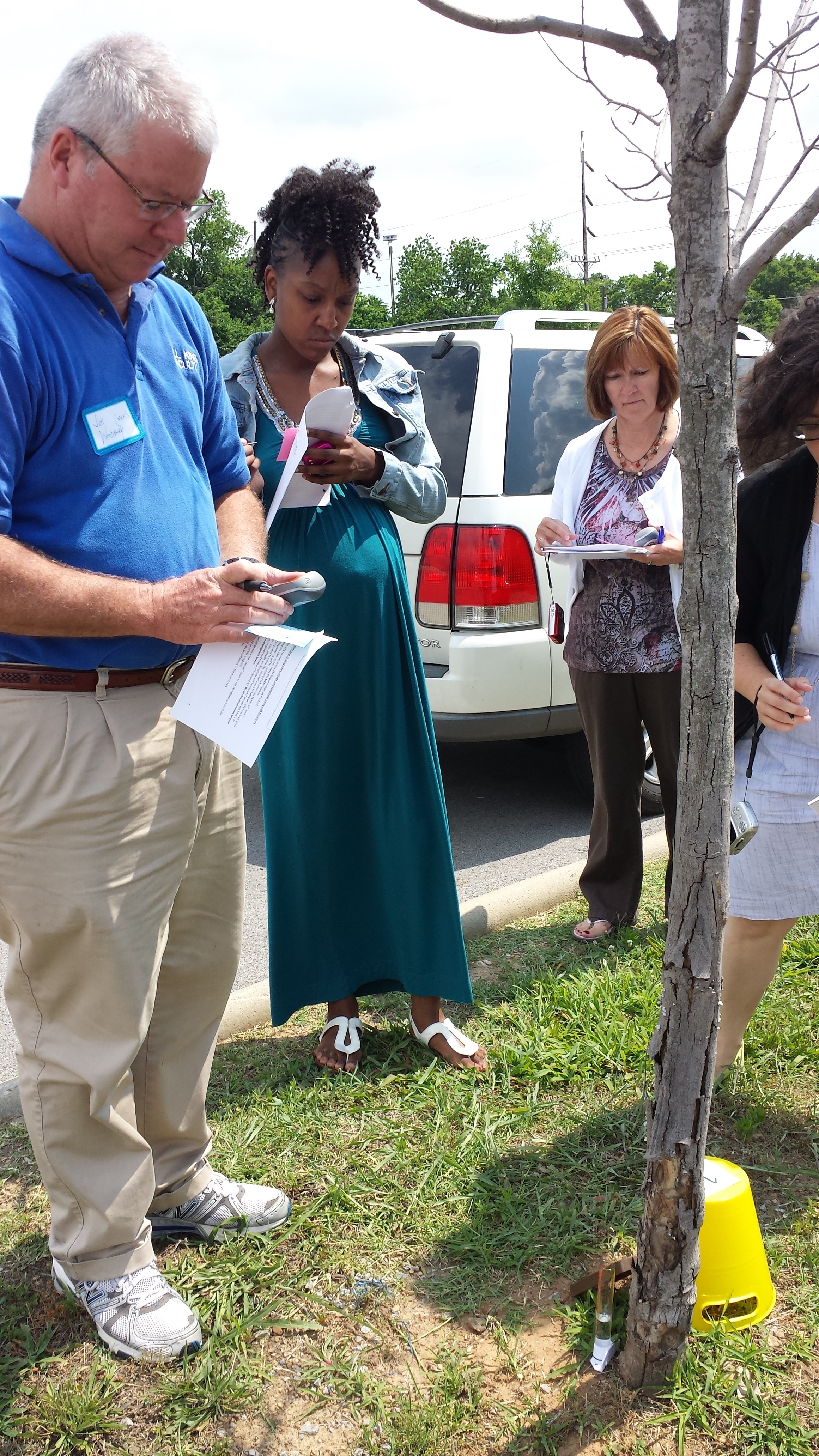
The third, introductory-level geospatial technologies (GT) professional development workshop was held June 24–June 27, 2013 at Martin Professional Development Center. There were 7 participants in the workshop. Each teacher was provided with a three-ring binder of workshop materials, as well as geospatial data and activities on thumb drives. The workshop materials included custom activities developed by the facilitators using local data and additional information about using GT in the classroom. During the workshop, teachers participated in the following activities:
Day 1 – Overview, Global Positioning Systems (GPS), and ArcGIS.com
- Introduction to Geospatial Technologies
- What is GPS? How to Use a GPS Unit?
- GPS Hide and Seek
- Introduction to ArcGIS.com
- Outdoor Data Collection with GPS Units and ArcGIS.com
Day 2 – ArcGIS.com and ArcGIS Desktop
- Data Sources, Types, and Formats
- The Geographic Inquiry Process
- ArcGIS.com Activity Development
- Carousel Brainstorm
- ArcGIS.com Activity Development Debrief
- Introduction to ArcGIS Desktop
- ArcGIS Desktop – Making a Reference Map
Day 3 – ArcGIS Desktop
- ArcGIS Desktop – Getting Your Data Into the Map
- ArcGIS Desktop – Beginning Spatial Analysis
- Guest Speaker – Jennifer Higgs from Metro Nashville Planning Office
- ArcGIS Desktop – Continued Spatial Analysis
- ArcGIS.com vs. ArcGIS Desktop
- Standards Roundtable
Day 4 – Other Geospatial Technology Resources
- Guest Speaker – Mitch Maddox from True North Geographic
- Introduction to the GLOBE Program
- Other Geospatial Technology Tools (Google Earth, ArcGIS Explorer, etc.)
- Concept Map Review
- Geospatial Technology Activity Development – Any Tool
- Activity Peer Review and Feedback
- Additional Resources and Future Work
Connect with Vanderbilt
©2026 Vanderbilt University ·
Site Development: University Web Communications