Home » Past Workshops » Advanced GIS Workshop- July 2012
Advanced GIS Workshop- July 2012
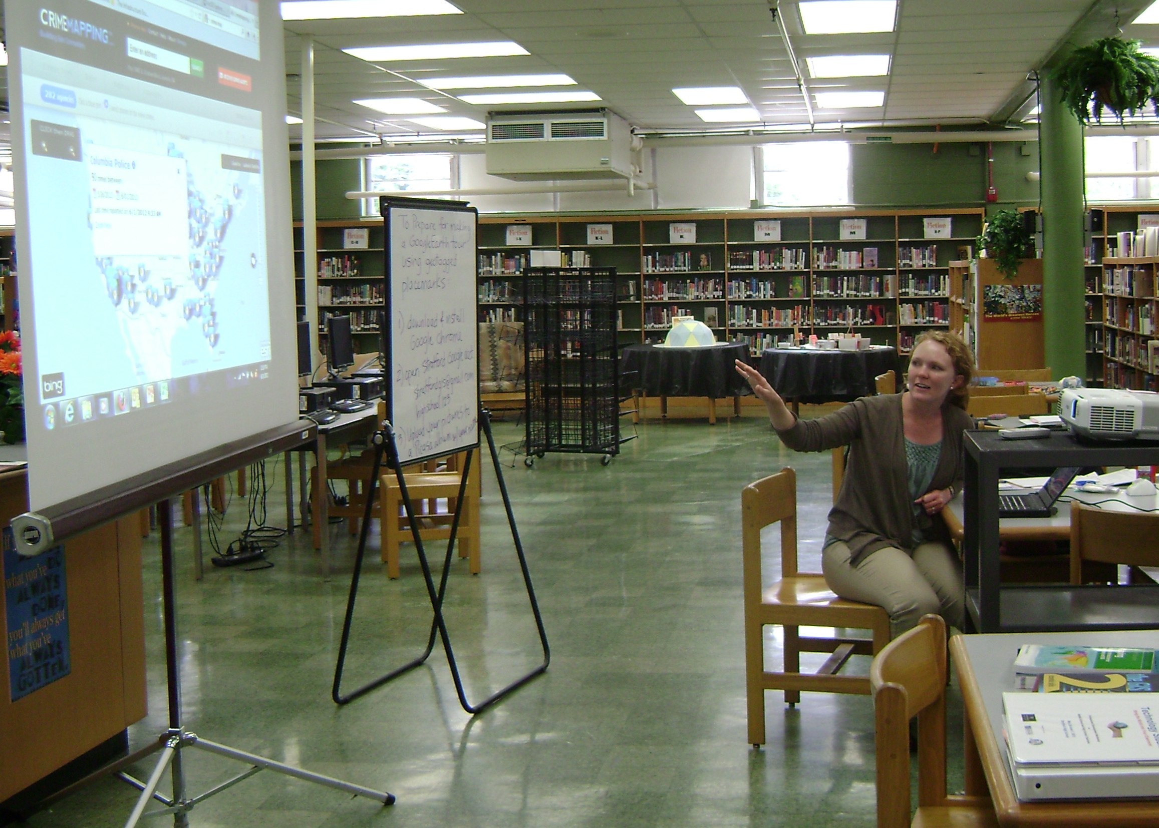
The first advanced Geospatial Technologies (GT) professional development workshop was held in July of 2012, at Stratford STEM Magnet High School of Metro Nashville Public Schools in Nashville, Tennessee. There were several participants from the Metro Nashville Public Schools. Participation was open to any teacher that had previously completed an introductory level workshop. The workshop was lead by two Vanderbilt researchers that served as co-teachers in the workshop. Each participant was provided with workshop materials and a thumb drive for storing their work. The workshop materials included custom activities developed by the facilitators using local data, listing of data and teaching resources, and supplemental information about GIS, GPS, and online mapping technologies.
During the workshop, teachers participated in the following activities:
- Tabular Joins- Discussions of how tabular joins can be performed with census data
- Advanced Querying- Determining relationships between census blocks and demographic data
- Geocoding- Associating addresses with geographic coordinates (latitude and longitude)
- Spatial Analysis- Teachers performed analysis relating crime, poverty, and police stations, as well as identifying vacant lots for possible community service sites

Connect with Vanderbilt
©2026 Vanderbilt University ·
Site Development: University Web Communications