Home » Past Workshops » Beginning Geospatial Technologies: Workshop 1 – August 2011
Beginning Geospatial Technologies: Workshop 1 – August 2011
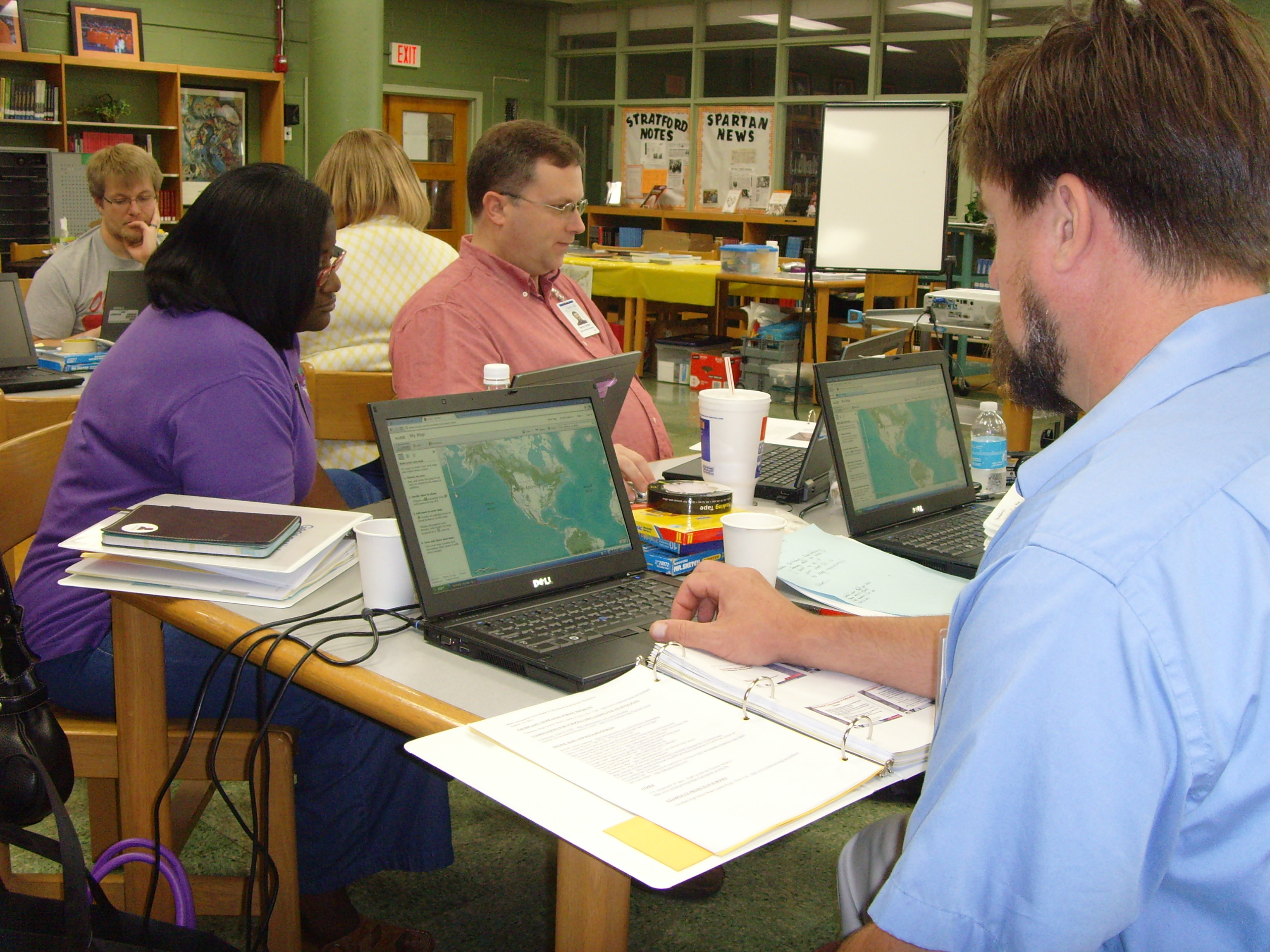
The first geospatial technologies (GT) professional development workshop was held August 1-5, 2011, at Stratford STEM Magnet High School of Metro Nashville Public Schools in Nashville, Tennessee. There were 12 participants in the workshop including two middle-school instructional designers and three Vanderbilt researchers that will be serving as co-teachers in classrooms at two of the three high schools represented. Each teacher was provided with a three-ring binder with workshop materials, and both a data DVD and a thumb drive for storing their work. The workshop materials included custom activities developed by the facilitators using local data, listing of data and teaching resources, information about GIS, GPS, and online mapping technologies, and information about using GT in the classroom along with other beneficial information. During the workshop, teachers participated in the following activities:
- Introduction to GIS – making a reference map, creating a map template, and using basic spatial analysis tools
- Use of GPS units – gathering waypoints and geocaching
- Use of GoogleEarth – basic GoogleEarth use, participating in a world-wide scavenger hunt, creating kml files from GPS data and importing photos, creating a GoogleEarth tour
- Discussions of how GIS can help meet curriculum standards and challenges of using GIS in the classroom
- Lesson and project planning utilizing at least one form of GT
- Presentations by local and state GIS practitioners

Connect with Vanderbilt
©2026 Vanderbilt University ·
Site Development: University Web Communications