Kohut, Lauren E.; Wernke, Steven A.; Dunnavant, Justin. “Modeling Marronage: GIS Heuristics of Refuge Affordances in Colonial St. Croix“. Journal of Archaeological Method and Theory, vol. 32, no. 1, 2025, pp. 2-32. DOI: 10.1007/s10816-024-09680-7
On the Caribbean island of St. Croix, there are historical records mentioning communities of runaway enslaved Africans who settled in the mountains known as Maroon Ridge. These settlements are important examples of resistance to slavery, but because they were hidden and temporary, it’s hard to find them through traditional methods. To address this, the study uses modern mapping techniques to explore where these communities might have been located. By combining old maps and modern technology (LiDAR), the researchers created a model that shows how the landscape looked to people seeking refuge. This model suggests that the locations of these communities changed over time, and it shows how combining geography and historical records can help us understand where and how people resisted slavery in the past.

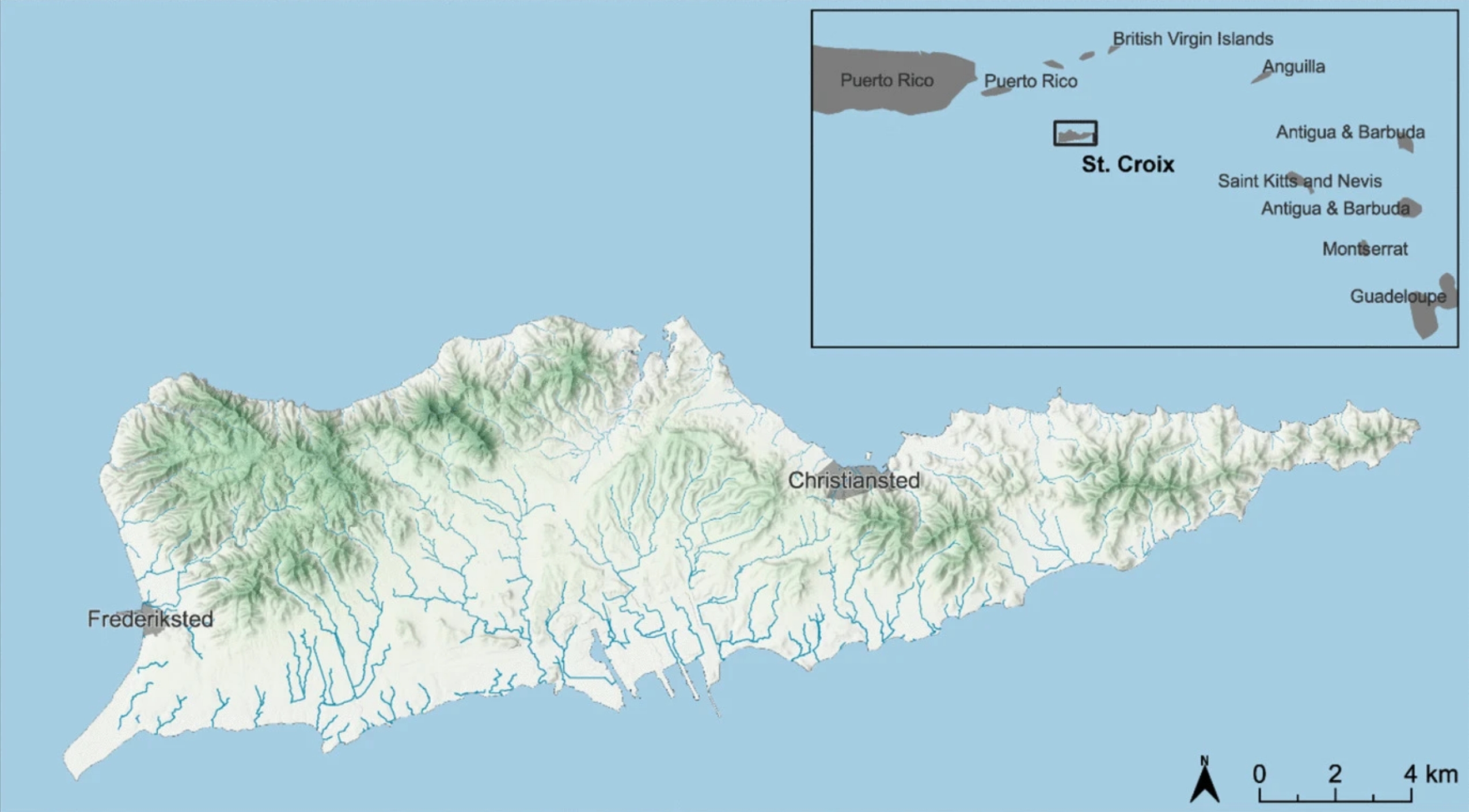
Fig. 1
The island of St. Croix showing topography, streams, and major colonial cities. Inset shows the location of the island within the eastern Caribbean Sea